
How it helps
Use it for a focused task
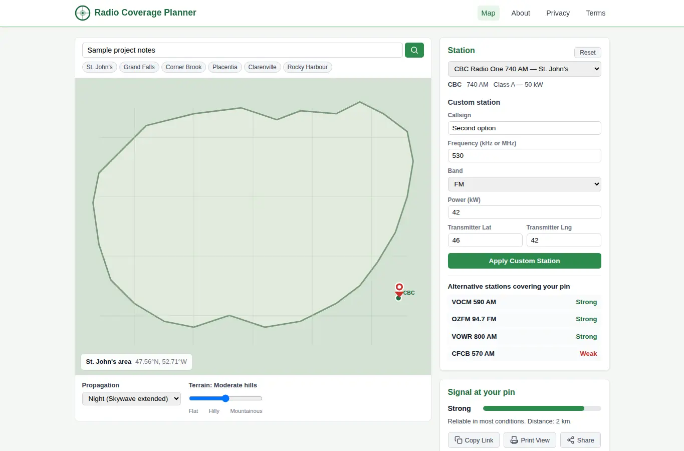
This planner helps radio listeners, truck drivers, rural residents, and road trippers see which stations are likely receivable at a specific location. Instead of trial-and-error scanning while driving, you set a point on the map, pick a station preset or enter custom station details, and the planner estimates coverage based on power class, distance, terrain roughness, and time-of-day propagation.
The map shows primary coverage (strong), fringe coverage (moderate), and gap areas where you may need an alternative station. You can compare day vs.
night propagation, note terrain effects, and find alternative frequencies for the same programming. 1.